Nature
Xoldokogaina: the little summit above Biriatou that looks over two countries
At 486 m above Biriatou, the Xoldokogaina looks out over Txingudi Bay, La Rhune, Aiako Harria and the sea. The route from the village, what you see from the top and practical tips for the climb.
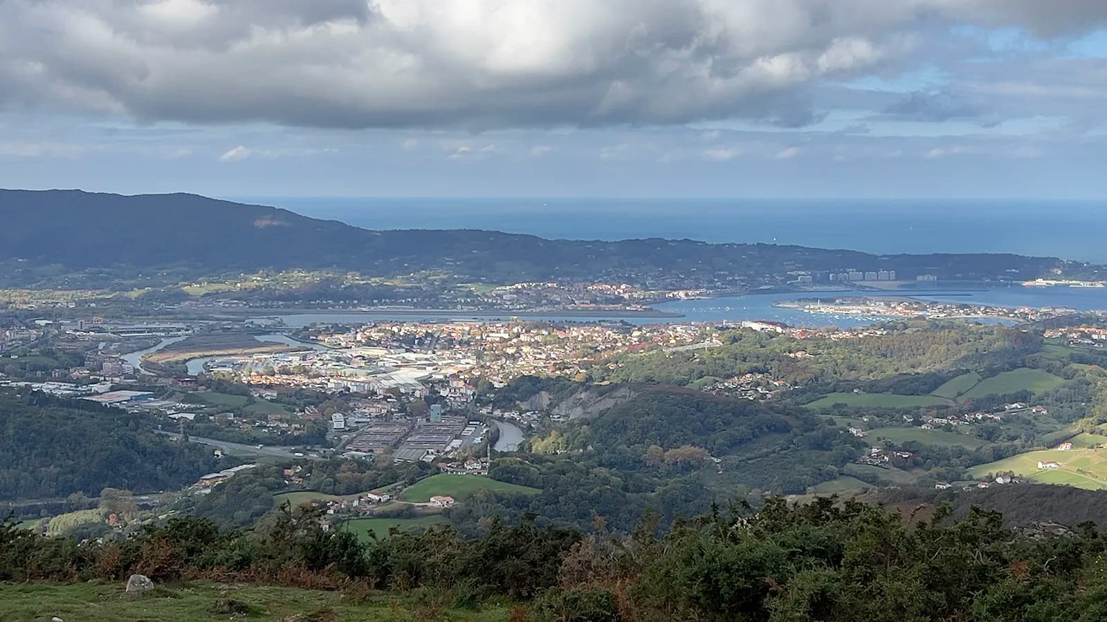
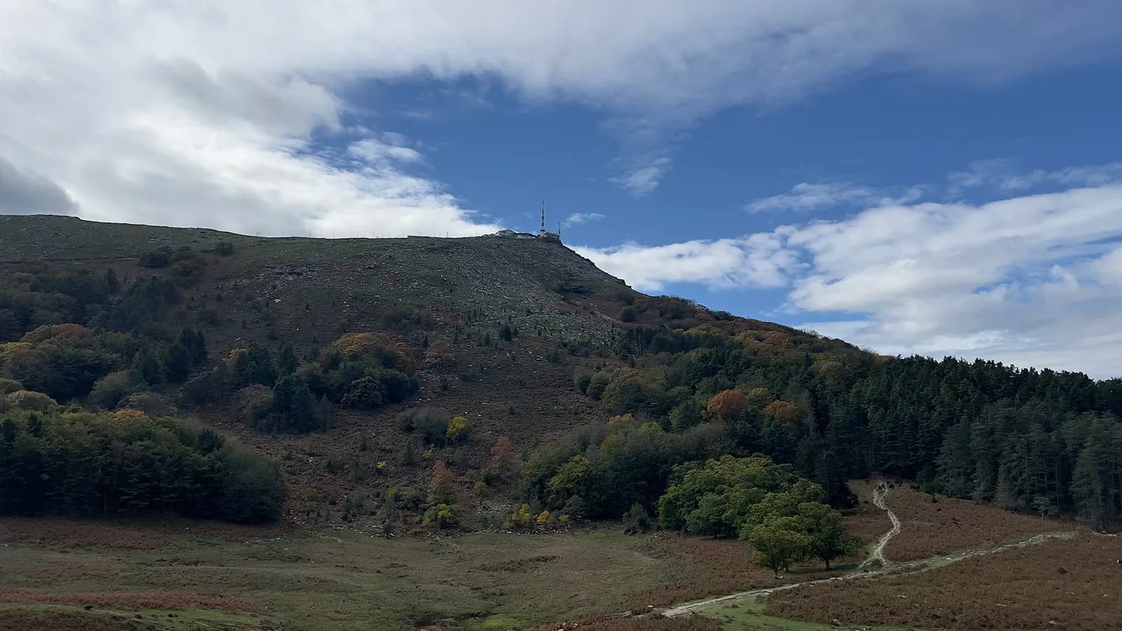
The Xoldokogaina rises to 486 m just above Biriatou (Biriatu), the Labourd (Lapurdi) village that looks down on the Bidasoa and the French–Spanish border. Allow one to two hours for the climb. At the top, a single turn on the spot takes in Txingudi Bay, Hendaye, Irun, Hondarribia, La Rhune (Larrun), Aiako Harria and the sea.
I climbed it on 1 November 2026. Here is the route, what you see from the summit and what to know before you set off.
Where is the Xoldokogaina?
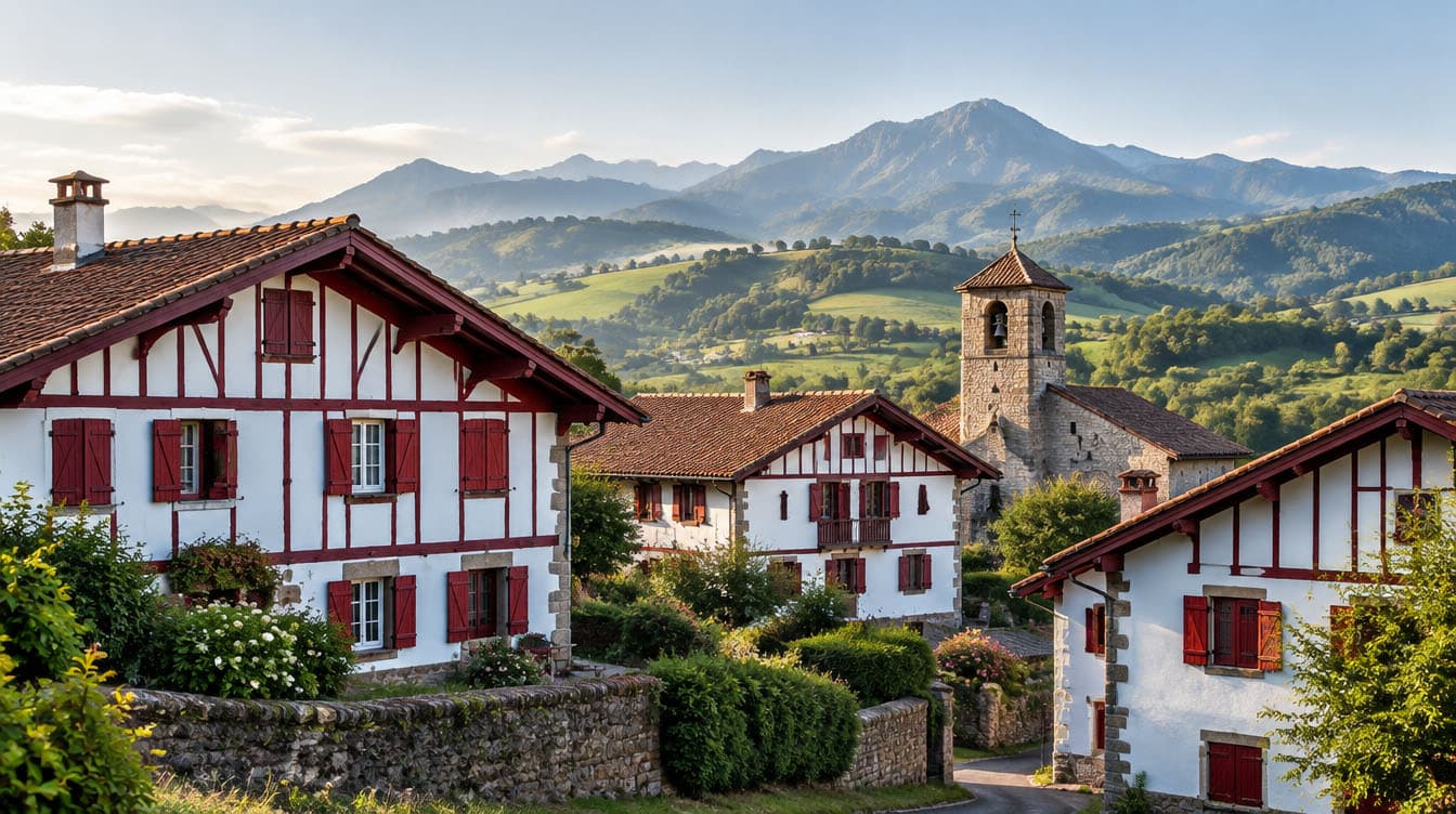
The Xoldokogaina stands east of Biriatou, in Labourd, above the lower Bidasoa valley, where the river marks the border between France and Spain. The GR 10 long-distance path runs through the village and skirts the mountain to the south. The local tourist office notes that many people regard it as the first summit of the French Pyrenees.
The name is Basque. Gaina means "summit", and the suffix -ko shows possession, so Xoldoko gaina is "the summit of the Xoldo". The Basque x sounds like the English "sh": say "Sholdokogaina". Many walkers simply call it "the Xoldo", and some guides spell it Xoldokogagna or Choldokogagna.
A lake shares the name on the Urrugne (Urruña) side: Lac de Xoldokogaina, also known as Lac d'Ibardin. It is not on the summit, and it is reached by a different path (see the FAQ below).
The route from Biriatou
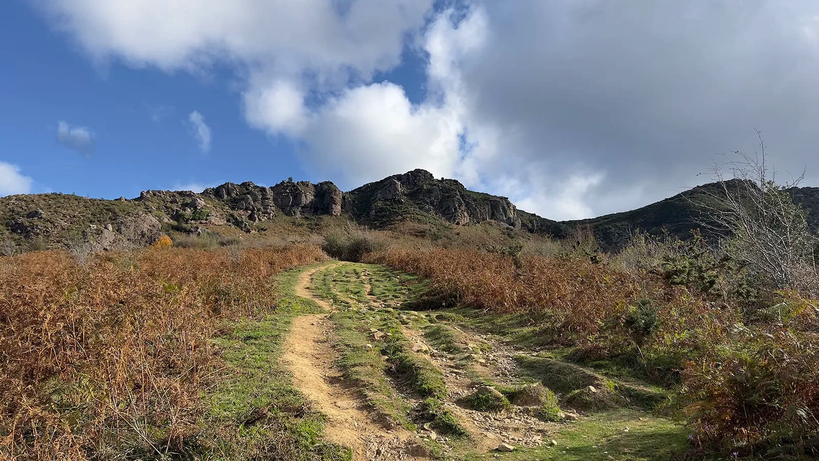
The easiest start is the car park below Biriatou town hall. You first follow the GR 10, waymarked in red and white, then a direct path up to the summit. The short loop described on Visorando is 6.7 km long, with about 470 m of ascent and 3 hrs 15 mins of walking.
Step by step
- From the car park to the GR 10. Climb the steps, walk past the church and follow the road to the left to the edge of the village. Then take the road climbing to the right, and the GR 10 on the right at around 100 m above sea level.
- Under the power line. The path passes beneath the cables and runs alongside two pylons. It is not the wildest of settings: be patient, it soon changes.
- The fork, at around 290 m. Bear right. The slope stays gentle for a while, then the path heads straight up the mountain.
- The summit, at 486 m. You reach it after about 2.7 km.
- The return. Go back down the same path to the fork, then turn right towards the pass with a pylon above it. At the broad grassy pass (244 m), turn left and rejoin your outward path back to the village.
A stop at the Rocher des Perdrix
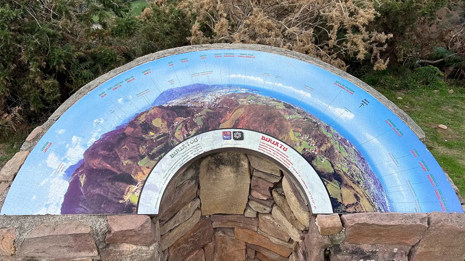
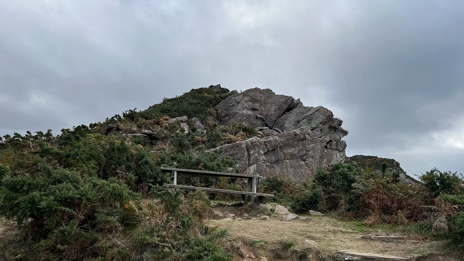
Between the village and the summit, the viewpoint indicator at the Rocher des Perdrix ("partridge rock"; in Basque, Eperren arroka, 281 m) is worth a stop. Installed in March 2011, it is labelled in French and Basque.
It names what lies in front of you: Irun, Béhobie, Hendaye, Hondarribia, the Basque Corniche, Socoa, Urrugne, Saint-Jean-de-Luz, Biarritz, the Château d'Abbadia and the Château d'Urtubie, Cape Higer and Jaizkibel. It even points to Pheasant Island, in the middle of the Bidasoa.
Two other ways up the Xoldo
The tourist office suggests a longer loop from Biriatou: the way up follows the GR waymarks, and the way back, waymarked in yellow, crosses the Col des Poiriers and the woods on the right bank of the Bidasoa. On the Urrugne side, Tourisme 64 describes a family walk from the Col d'Ibardin: it follows the GR for a while, then drops down to the lake without going over the summit.
The three routes in the area at a glance
| Route | Distance | Ascent | Time |
|---|---|---|---|
| Short loop from Biriatou, via the summit | 6.7 km | 473 m | 3 hrs 15 mins |
| Loop via the Col des Poiriers, via the summit | 8.4 km | 550 m | 3 hrs |
| Lac de Xoldokogaina from the Col d'Ibardin, without the summit | 6.2 km | 279 m | 2 hrs |
For a shorter outing, the Mont du Calvaire (Kalbarioa, about 270 m), with its chapel and large cross, can also be reached from Biriatou. It already looks out over Txingudi Bay.
What you see from the summit
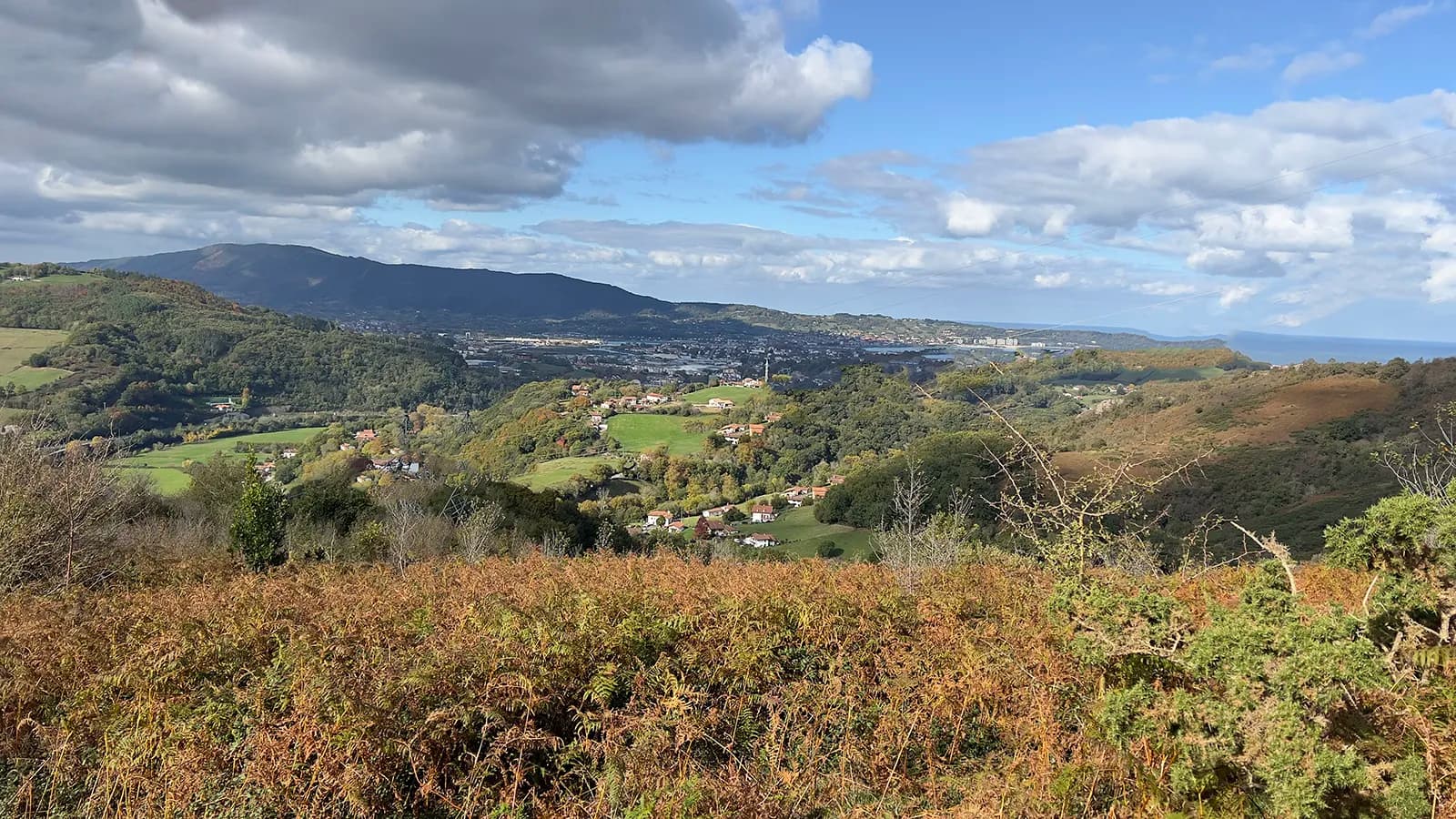
From the grassy summit, the view takes in almost the whole horizon. Towards the sea: Txingudi Bay, then the coast as far as Biarritz and, on a very clear day, the beaches of the Landes. Inland: La Rhune to the east and Aiako Harria to the south-west.
A sculpture and two plaques on the summit
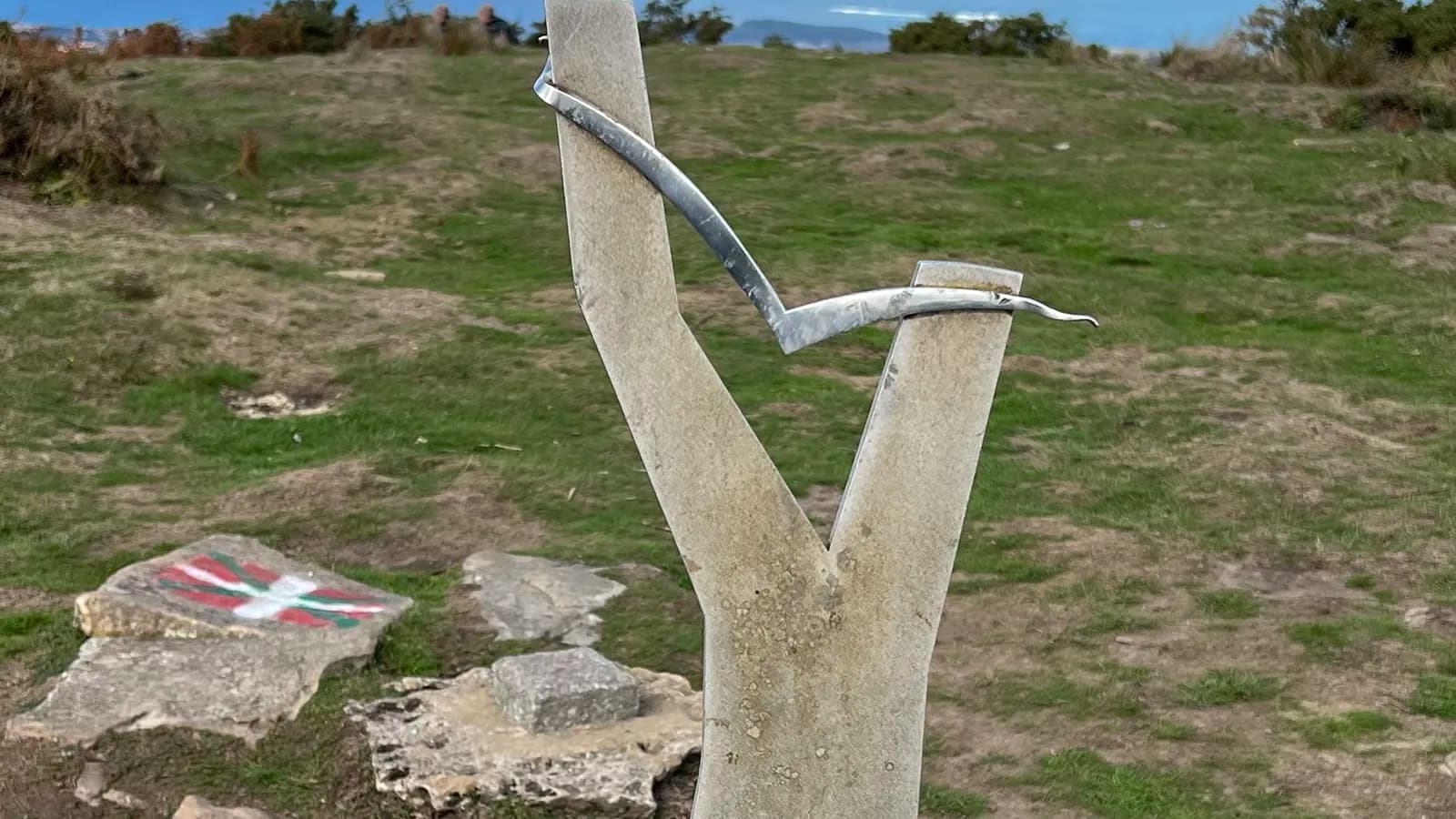
On the grassy summit, a Y-shaped stone sculpture, crossed by a strip of metal, stands on a stone plinth. Two plaques go with it. The first, in Basque, is hard to read. The second is signed by the Jaizkibel mountaineering club (Jaizkibel mendizale taldea) of Pasai Antxo; it gives the name of the summit and the date 14 December 1997.
Txingudi Bay: three towns, two countries
The Bidasoa ends its course in Txingudi Bay. Hendaye on one side, Irun and Hondarribia on the other: from up here, the border fits into a single glance. You can make out the runway of San Sebastián airport, right by the water in Hondarribia, and Jaizkibel closing off the horizon on the Spanish side.
La Rhune and Aiako Harria
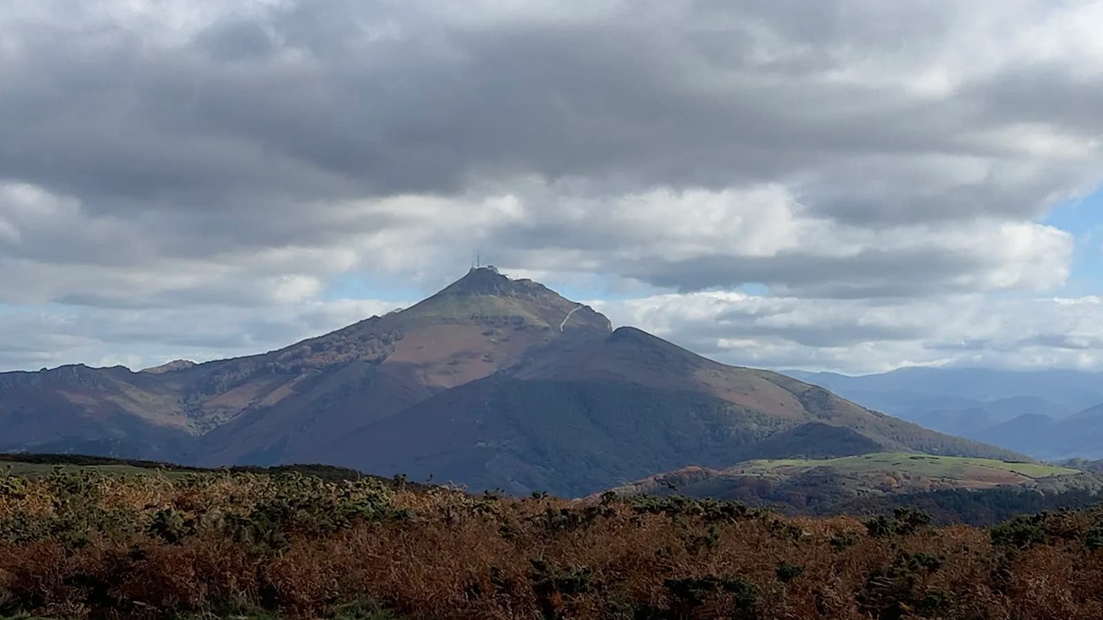
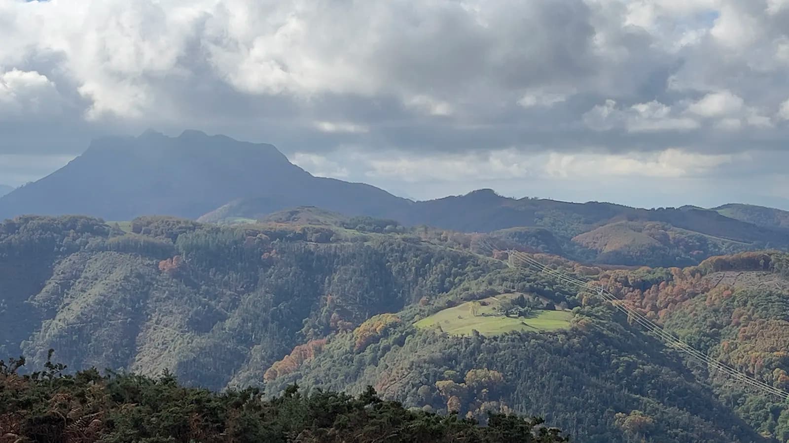
To the east, La Rhune (Larrun, 905 m) shows off its antennas. It is the other great summit on the border, and our La Rhune hiking guide covers its routes and its little cog railway. To the south-west, on the Spanish side, the rocky peaks of Aiako Harria (Peñas de Aya) stand out.
The sea, from the Basque Corniche to Biarritz
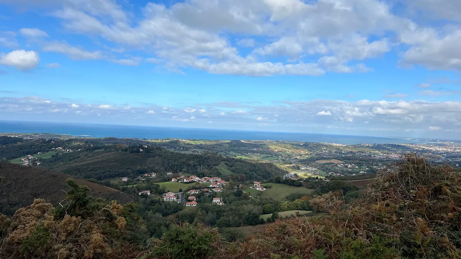
To the north, your eye runs along the coast. The tourist office mentions the bay of Saint-Jean-de-Luz, Biarritz and its Rocher de la Vierge, the Château d'Abbadia in Hendaye and, on a clear day, the beaches of the Landes.
Autumn, bracken and pottoks
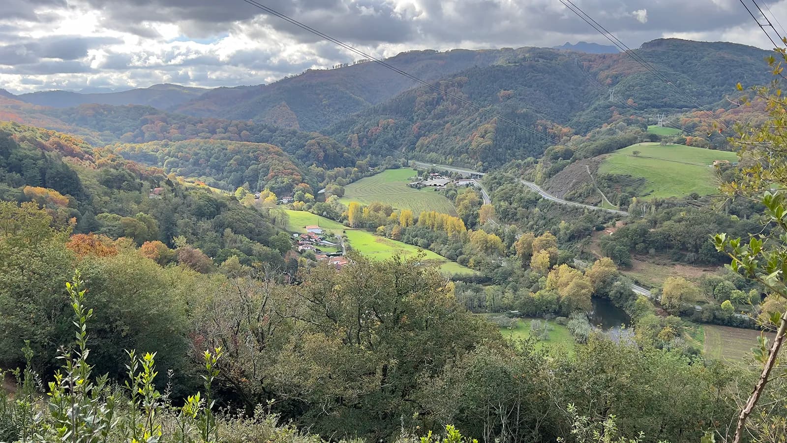
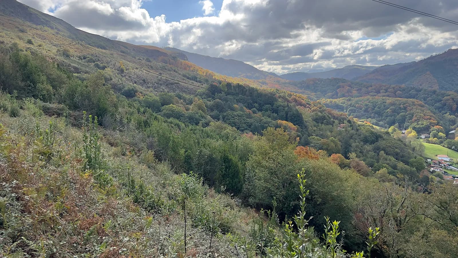
The Xoldokogaina massif is a mix of heathland and shady little valleys; Tourisme 64 calls it a real paradise for pottoks, the small Basque ponies. In early November, the bracken turns russet, the gorse stays green and the woods of the Bidasoa valley take on their autumn colours.
My walk, on 1 November
I climbed it on 1 November 2026. The sky never stopped changing: deep blue over the sea, heavy clouds snagged on Aiako Harria, sunny spells lighting up the meadows of the Bidasoa valley.
Practical tips
- Water: there is no water on the route, so bring enough to drink.
- Footwear: the descent is on a stony path. Good walking boots and poles help. In wet weather, some sections get very muddy.
- Weather: pick a clear day; the view is what makes this walk.
- Getting there: Biriatou is a few minutes' drive from Hendaye. The car park for the start is below the town hall.
Frequently asked questions
How high is the Xoldokogaina?
The Xoldokogaina is 486 m high. That is modest, but the summit rises a few kilometres from the sea, above the Bidasoa and the border. So the view reaches much further than its height suggests: from Txingudi Bay to Biarritz, and as far as La Rhune and Aiako Harria.
How long does it take to climb the Xoldokogaina?
Allow one to two hours on foot from Biriatou to the summit, depending on your pace. For a full loop, plan on about three hours: 3 hrs for the tourist office loop via the Col des Poiriers, 3 hrs 15 mins for the short loop described on Visorando.
How do you pronounce Xoldokogaina?
In Basque, the x sounds like the English "sh", so it is roughly "Sholdokogaina". The name means "the summit of the Xoldo": gaina means "summit" and -ko shows possession. In conversation, many walkers simply say "the Xoldo".
Is Lac de Xoldokogaina on the summit?
No. Lac de Xoldokogaina, also known as Lac d'Ibardin, is a reservoir built in the early 1930s in the Arola valley, at about 330 m above sea level, on the Urrugne side. You reach it on foot from the Col d'Ibardin. Swimming and fishing are not allowed.
Is the Xoldokogaina hike difficult?
Visorando and the tourist office rate it as moderate. The last part of the climb to the summit is steep, and the descent is on a stony path. With good boots, water and a clear day, it makes a lovely half-day out from Biriatou.
Further reading
If the Xoldo has given you a taste for more, La Rhune is the obvious next step, a few kilometres to the east: it is all in our guide to La Rhune. For more ideas, see also the best hikes in the Basque Country.
Sources
- Biriatou, Wikipedia: height of the Xoldokogaina, route of the GR 10.
- Xoldo, au départ de Biriatou (in French), entry from Sirtaqui (Communauté d'Agglomération Pays Basque), updated 1 January 2026: loop via the Col des Poiriers, view, meaning of "gaina".
- Xoldoko Gaina (sommet du Xoldo), Visorando (in French): step-by-step route, distance, ascent, time.
- Le Calvaire de Biriatou, Visorando (in French): Mont du Calvaire (Kalbarioa).
- Xoldoko Gaina, au départ du col d'Ibardin, Tourisme 64 (in French): walk to the lake, heathland of the massif.
- Lac de Xoldokogaina, Tourisme 64 (in French): 1930s reservoir, restrictions.
- Biriatou, Le Routard (in French): time needed for the climb.
- Viewpoint indicator at the Rocher des Perdrix and summit plaques: noted on site on 1 November 2026.